* N1ATP Home Page *
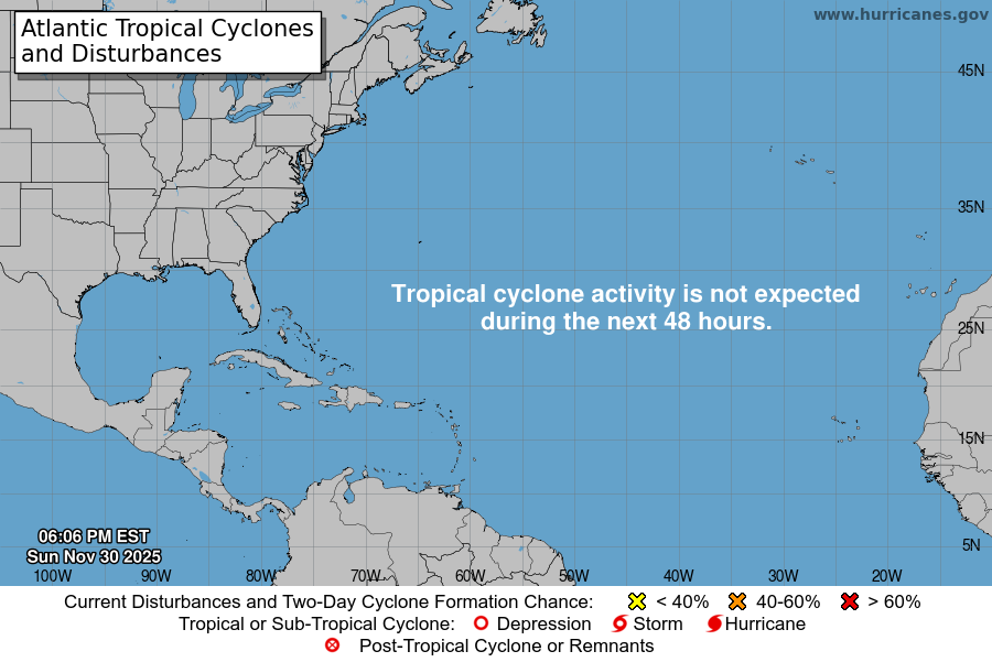
What will the 2025 Storm Season look like?
|
|
ABOUT THIS WEBSITE
This is the the Ham/Amateur Radio Project Website of N1ATP, Knut.
I received my Technician License in 1993 as N1QKP. This served me well since my chief interest is public service events commonly utilizes VHF and UHF Frequencies. Over the years I have upgraded to General both in the US and as LA9UKA in Norway.
I also “broke down” and changed to a vanity call-sign from N1QKP to N1ATP (Airline Transport Pilot) which is also the pilot license I hold.
Early on, I realized the fantastic resource of APRS. In the mid-90’s I created DOS based line maps to be used with APRS (Radios and TNCs – no internet) to track the Hartford Marathon. I also coordinated all communications (120 ham and commercial radios) for three years. Today, we combine RF based APRS with the Internet to best utilize this fantastic visual coordination and tracking system.
I have been involved with digital voice technologies like D-Star and DMR since 2007. In the early days I travelled world wide with D-Star and used the “follow me” feature a lot. It was amazing to be in a hotel in Europe and receive routed call like I was still in Connecticut. So Cool!
DMR’s two time-slots and networked repeaters is a “dream” for public service events. Making the repeater portable and networked to allow roaming between sites tops everything off. I “burnt up” my first Motorola repeater in 2014 on TG3100 due to the continuous chatter.
This website is a combination of information and coordination for events, but more than anything a personal place to formalize thoughts and ideas. The domains www.HamComm.org , www.EventComm.org www.racedispatch.com are also used to bypass the menus to special projects.
Over the 2021-22 winter, a system of AllStarLink nodes have also been put in place to create some of the linking capabilities of DMR radio, but with the use of standard analog FM. Combining the two systems can create an amazing wide area event comm system.
Sunrise at 30West – Story Behind the Picture –
When you fly across the Atlantic Ocean, 30West is the airspace boundary between Gander (Canada) and Shanwick FIRs. At 30West we change from one HF frequency to another. When leaving NYC area around 10pm at night, sunrise will commonly occur as shown (at 41,000 feet). HF is still used over the high seas for aviation communication. It will soon be replaced with digital CPDLC which is satellite based digital text and surveillance (“radar”) communication.


